
22 Fillmore Moves to Mission Bay, Makes Way for the 55 Dogpatch

22 Fillmore Moves to Mission Bay, Makes Way for the 55 Dogpatch
By Erin McMillan

22 Fillmore bus boarding passengers at bus stop.

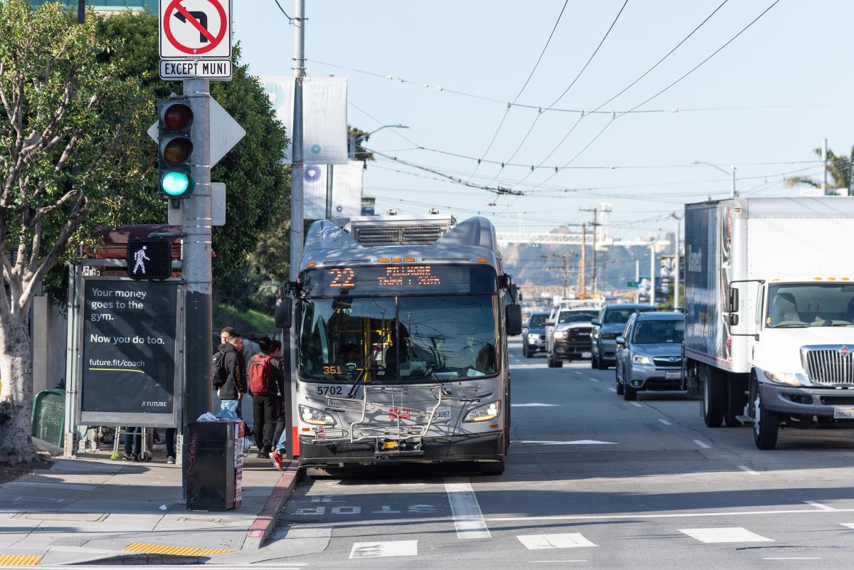
Starting Saturday, January 23, the eastern section of the 22 Fillmore will shift its route to begin serving Mission Bay. Utilizing the new transit and street amenities along 16th Street, the 22 Fillmore will travel east from the Mission to 3rd Street to serve medical facilities and the growing residential and commercial areas in the Mission Bay neighborhood. In addition to increasing service to the Mission Bay neighborhood, this move will provide an improved east-west connector from the Mission neighborhood to Mission Bay, increasing transit access to jobs and healthcare services. This 5+ mile bus route serves nearly 18,000 daily customers from the Marina through the Mission and soon to Mission Bay, improving Muni service to all the neighborhoods in between.

Start of the 55 Dogpatch

Moving the eastern segment of the 22 Fillmore to Mission Bay provided an opportunity to work with the communities of Potrero Hill and the Dogpatch to find ways to improve transportation in their neighborhoods. Beginning with an initial assessment of transportation options and potential future development in the area, SFMTA worked to find what type of transit service would best serve these neighborhoods. After a few years of research and extensive outreach, the community-informed 55 Dogpatch was born as a new Muni route to maintain and enhance transit connections between 16th St Mission BART, Potrero Hill and the Dogpatch. Service on the 55 Dogpatch will also begin on Saturday, January 23.

These adjustments to Muni service comes after the completion of the first phase of the multi-agency 16th Street Improvement Project from Potrero Avenue to 3rd Street that includes new signalized intersections, new transit islands and transit bulbs for safer and more efficient bus boarding, new pedestrian bulbs to reduce crossing distances for people walking, new ADA ramps at each intersection, new street lights to illuminate the streets, 50 new trees along 16th street, curb-to curb paving and new sewer and water pipes. The completion of this phase means a safer and overall more pleasant experience for the community, Muni customers and people walking. This project made community-informed improvements to address the needs of current and future residents and is part of Muni Forward, an initiative to create a safe, reliable and comfortable experience on and off transit.

Additional information about all service changes that are planned to begin on Saturday, January 23 can be found on our blog.


Published January 06, 2021 at 03:31AM
https://ift.tt/3pRKXbV

Comments

Popular posts from this blog

Women Pioneers at Muni: Adeline Svendsen and Muni’s First Newsletter

Women Pioneers at Muni: Adeline Svendsen and Muni’s First Newsletter By Jeremy Menzies To close out Women’s History Month, here’s a look back at one woman whose work to bring Muni staff together in the late 1940s created a legacy that lives on to this day. Adeline “Addy” Svendsen was founding editor of Muni’s first internal newsletter, “ Trolley Topics .” Adeline Svendsen sits at her desk in the Geneva Carhouse office building in this 1949 shot. Trolley Topics was a new venture when it started in February 1946. As Svendsen wrote in the first issue it was created, “to bring a little fun, a little news, and a lot of good will to all our fellow employees in the Railway.” Just two years prior in 1944, Muni merged with the Market Street Railway Company, expanding the small municipal operation into the largest transit provider in the city with hundreds of employees, vehicles of every shape and size, and dozens of facilities scattered across town. The newsletter was meant to help unite ...

Show HN: StreetComplete, an OpenStreetMap Editor for Humans https://ift.tt/2J8IL02

Show HN: StreetComplete, an OpenStreetMap Editor for Humans StreetComplete is an OpenStreetMap[0] editor directed at people who want to contribute and want to do this using their smartphone, without learning how to edit things[1]. It is available as an Android application. It is intended to be used as one walks, with quests appearing as markers on the map. Selecting a marker allows one to answer a simple question. The answer will be added to the OpenStreetMap database, with app handling selecting objects for editing, transforming answer into OSM tags and making edits. OpenStreetMap account is needed to apply edits, but it is possible to start without it, make some edits and login/register later. Note: I am not the main author, but I am one of the active contributors. Github page is at https://ift.tt/2g8lasH and https://ift.tt/3nR9PzS shows what was recently released. [0]OpenStreetMap is a Wikipedia of maps, available on the open licence. This dataset is already used for many interestin...

Show HN: Launch VM workloads securely and instantaneously, without VMs https://ift.tt/2QwJ1Kd

Show HN: Launch VM workloads securely and instantaneously, without VMs Hello HN! We've been working on a new hypervisor https://kwarantine.xyz that can run strongly isolated containers. This is still a WIP, but we wanted to give the community an idea about our approach, its benefits, and various use cases it unlocks. Today, VMs are used to host containers, and make up for the lack of strong security as well as kernel isolation in containers. This work adds this missing security piece in containers. We plan on launching a free private beta soon. Meanwhile, we'd deeply appreciate any feedback, and happy to answer any questions here or on our slack channel. Thanks! April 29, 2021 at 07:50AM